The Four Rivers Route
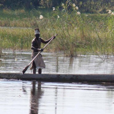
The Four Rivers Route comprises an unusual water ecosystem that gives life to rich and rare wildlife, birds and culture, while being affordable to visitors who feel nourished in its presence.
The name is derived from the four river systems that flow through the Zambezi (formerly the Caprivi) and Kavango regions, namely the Zambezi, Okavango, Kwando and Chobe Rivers.
The unusual water ecosystem created by the rivers is one of Southern Africa’s best kept secrets and is home to over 430 bird species, free-roaming wildlife and numerous culturally rich villages and attractions.
This route stretches from Nkurenkuru in the North East through the Zambezi Region (former Caprivi Strip) to one of southern Africa’s most spectacular attractions, the Victoria Waterfalls.
Top 5 reasons to visit
- With over 430 bird species, the area is one of the most attractive destinations for birding in southern Africa
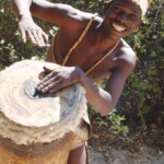
- Experience the rich culture of the region at the Mbunza and Mafwe Living Museums. These living museums help to sustain the livelihoods of local people while acting as a traditional school that preserves local culture and traditions
- Buy authentic, hand-made craft from local crafters. The Khwe crafters at the Bwabwata National Park are renowned for their unique style of basket weaving found nowhere else in southern Africa
- Take part in a range of river activities in the largest water ecosystems in southern Africa. Activities include fishing, birding, hiking, game viewing and canoeing
- See how communities protect their resources through communal conservancies and community forests. In one of Africa's greatest success stories, communities are managing and benefiting from their natural resources through 17 registered conservancies covering close to 5,000 square kilometres
Interesting facts
- An Omarumba is an ancient, dried-up river bed found in the Kalahari sands of Namibia. The Omarumba Omatako is found in the Kavango region south of the Okavango River towards the Kalahari Desert. These river beds provide occasional standing pools during the rainy seasons and are often home to a unique type of vegetation, different to that of the surrounding plains
- Fort Doppies, 32 Battalion, Omega I and Omega III are all historic military in the Zambezi and Kavango regions. These bases were used by the South African Defence Force to fight the war on independence. In 1991, Namibia gained its independence and by 1993 most of these bases and operations were disbanded
- Around 10,000 years ago the Kwando River merged with the Okavango Deltawhen the land surface between the two courses was raised through tectonic activity. Today the Kwando flows into a swamp land known as the Linyanti Swamp
- The Chobe River is l river course that flows in two opposing directions. It flows west towards the Linyanti swamps but also east towards the Zambezi River
- The vaKavango people consists of five kingdoms;, Kwangali, Mbunza, Shambyu, Gciriku and Mbukushu. The line of decent is only traced through the females. This means that should a man hold a hereditary position, which is passed on to his sister's eldest son and not his own children
- Nyemba is the word derived by the vaKavango people for immigrants and is largely referred to Angolan immigrants who moved down to the Kavango and Zambezi regions during the war to trade
- Until the end of the 19th century the Caprivi region was known as Intenga and was under the rule of the Lozi kings. Later it formed part of the British Bechuanaland Protectorate (known as Botswana today)
- The Caprivi Strip (now known as the Zambezi Region) was named after the German Chancellor General Count Georg Leo von Caprivi di Caprara di Montecuccoli
- In 1890 Germany laid claim to the British-administered Island of Zanzibar but the British objected. This was settled at the Berlin Conference in 1890 when Queen Victoria acquired Zanzibar and Germany acquired the territory that is now known as the Zambezi Region
- In 1958 the Zambezi rose to the highest levels ever recorded. It flooded the entire eastern portion of the Zambezi Region pouring into a broad depression located south of Katima Mulilo and thereby creating a lake known as Lake Liambezi
Suggested Experiences
Click on different locations to find out more.
Tip: Click anywhere on the map to close the route popup.
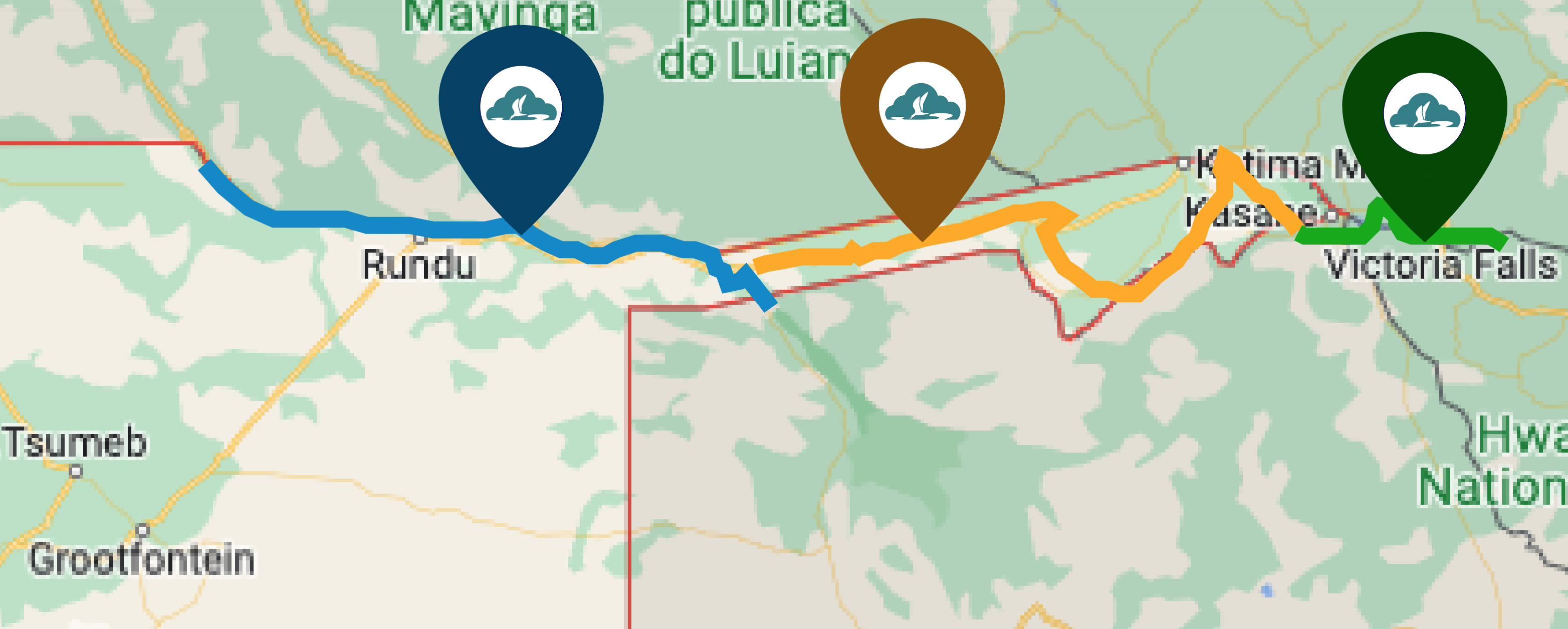
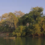
The Kavango Open Africa Route is based on the riverine landscapes of the Kavango, its people, birds, and wildlife. The route roughly stretches 383km from Nkurunkuru in the west to Mohembo in the east and also provides access to the Mahango and Khaudum National Parks on the border of Botswana. The beauty of this area was only discovered by explorers in the late nineteenth century and is still being discovered by tourists today.
The Four Corners Experience stretches from the Ngoma border post, through Chobe National Park in Botswana to the mighty Victoria Falls which are shared by two countries, Zambia and Zimbabwe. Along the way, travelers will have glimpses of the Zambezi River before reaching the Chobe River as it merges with the Zambezi at the confluence. Seeing the abundant wildlife of the area come to drink at sunset on the banks of the Chobe River is one of the best experiences southern Africa has to offer.
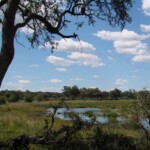
The Caprivi Wetlands Paradise epitomizes the appeal of Africa with wildlife and communities living side-by-side. The area is renowned for its successful Community-Based Natural Resource Management program that allows communities specific ownership rights and allows them to protect and sustainably utilize their wildlife and other natural resources. This can be seen first-hand when crossing the Okavango River into the Bwabwata National Park.

